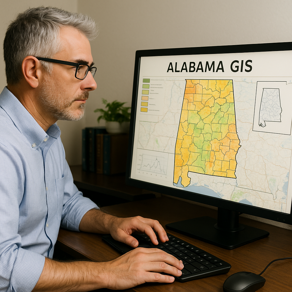
Alabama GIS: How Mapping Helps Communities and Farms
Learn how GIS mapping helps Alabama communities, farms, emergency crews, and land managers make better decisions about roads, soil, water, growth, and conservation.

Learn how GIS mapping helps Alabama communities, farms, emergency crews, and land managers make better decisions about roads, soil, water, growth, and conservation.